Auckland › Manurewa › in Wellington
Neighbourhoods like Manurewa in Wellington
Taitā is the Wellington neighbourhood most like Manurewa, Auckland: a good match at 50/100. Next come Cannons Creek (32) and Ascot Park (24).

Manurewa is a suburb in South Auckland, New Zealand, located 6 km (3.7 mi) south of Manukau Central, and 26 km (16 mi) southeast of the Auckland City Centre. It is home to the Auckland Botanic Gardens, which receives over a million visitors a year. Wikipedia

Taitā is one of the northernmost suburbs of the city of Lower Hutt in New Zealand, situated toward the northern end of the city. It lies considerably south of the Taitā Gorge which separates Lower Hutt City from Upper Hutt City, and to the west of the Taitā Cemetery in the suburb of Naenae. Wikipedia
Why Taitā is like Manurewa
50/100Each row shows where the area ranks in its own city: “top 5%” means among the 5% of areas that fit the label best. Matched on density, street life and geography, plus census data on income, rents, age, housing type, renting vs owning, birthplace, languages and household size.
| Trait | Manurewa | Taitā |
|---|---|---|
| Lower incomes | top 5% | top 13% |
| Outer | top 7% | top 22% |
| Renters | top 7% | top 24% |
| Cheaper rents | top 18% | top 7% |
| Family suburb | top 1% | top 16% |
| Younger crowd | top 3% | top 15% |
| Big households | top 7% | top 21% |
| Social housing | top 8% | top 7% |
More Wellington neighbourhoods like Manurewa
- Lower incomes top 5% · top 4%Dense top 18% · top 24%Renters top 7% · top 4%
- Dense top 18% · top 13%Outer top 7% · top 23%Family suburb top 1% · top 4%
- Lower incomes top 5% · top 20%Renters top 7% · top 25%Cheaper rents top 18% · top 12%
- Lower incomes top 5% · top 2%Renters top 7% · top 17%Cheaper rents top 18% · top 3%
- Lower incomes top 5% · top 25%Family suburb top 1% · top 17%Younger crowd top 3% · top 25%


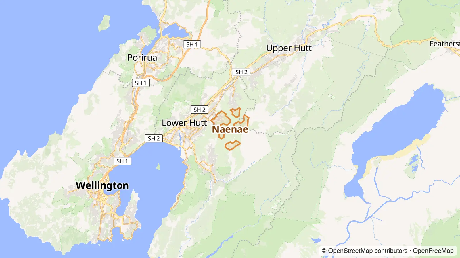

Going the other way: Auckland neighbourhoods like Taitā.
Manurewa in other cities
- The Manurewa of Christchurch Aranui
Photo and map credits
- Manurewa, Auckland: Schwede66, CC BY-SA 4.0, via Wikimedia Commons
- Taitā, Wellington: Tom Ackroyd, CC BY-SA 4.0, via Wikimedia Commons
- Cannons Creek, Wellington: D Coetzee, CC0, via Wikimedia Commons
- Ascot Park, Wellington: Thisaccountis42, CC BY-SA 4.0, via Wikimedia Commons
- Waiwhetū, Wellington: Stuartyeates, CC BY-SA 4.0, via Wikimedia Commons
- Lowry Bay, Wellington: AxonsArachnida, CC BY-SA 3.0, via Wikimedia Commons
- Maps: © OpenStreetMap contributors, map style by OpenFreeMap


