Brisbane › Burpengary East › in Perth
Suburbs like Burpengary East in Perth
Forrestfield is the Perth suburb most like Burpengary East, Brisbane: a good match at 41/100. Next come Mount Nasura (38) and Helena Valley (37).
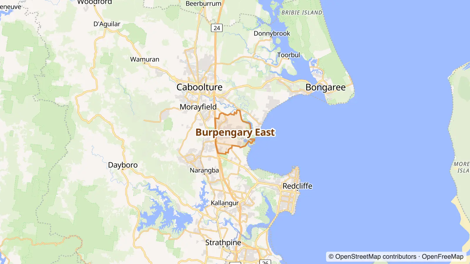
Burpengary East is a coastal suburb in the City of Moreton Bay, Queensland, Australia. In the 2021 census, Burpengary East had a population of 9,654 people. Wikipedia
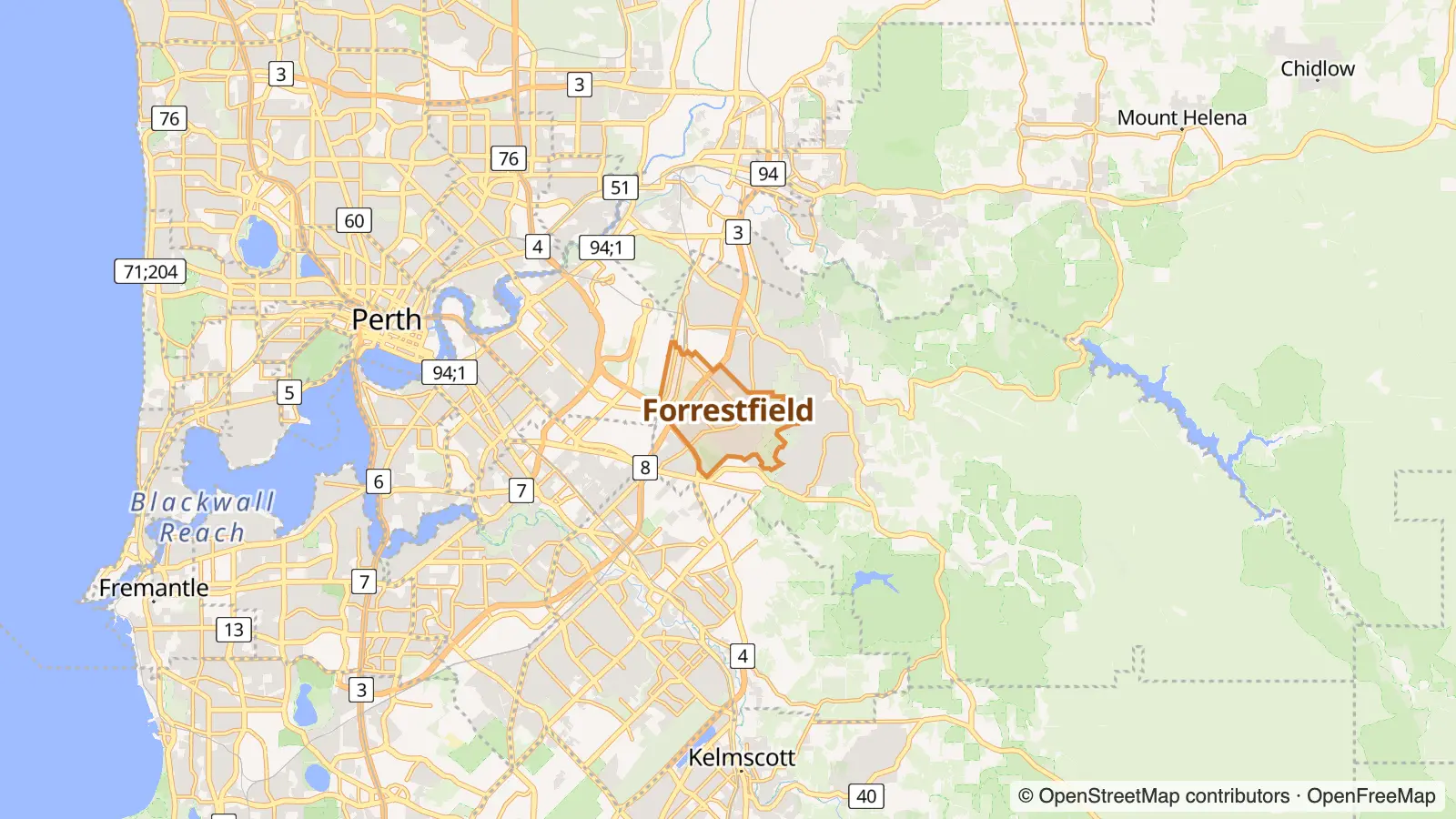
Forrestfield is a suburb of the City of Kalamunda in Western Australia. It lies 15 kilometres to the south-east of Perth at the base of the Darling Scarp and the southern border of Perth Airport. Wikipedia
Why Forrestfield is like Burpengary East
41/100Each row shows where the area ranks in its own city: “top 5%” means among the 5% of areas that fit the label best. Matched on density, street life and geography, plus census data on income, rents, age, housing type, renting vs owning, birthplace, languages, jobs, household size and cultural communities.
| Trait | Burpengary East | Forrestfield |
|---|---|---|
| Spacious | top 10% | top 17% |
| Industrial | top 14% | top 11% |
More Perth suburbs like Burpengary East
- Outer top 15% · top 16%Quiet streets top 10% · top 19%Owner-occupiers top 14% · top 9%
- Spacious top 10% · top 12%Quiet streets top 10% · top 9%Outer top 15% · top 17%
- Spacious top 10% · top 9%Quiet streets top 10% · top 10%Owner-occupiers top 14% · top 13%
- Spacious top 10% · top 6%Quiet streets top 10% · top 5%Outer top 15% · top 12%
- Spacious top 10% · top 5%Outer top 15% · top 10%Quiet streets top 10% · top 22%
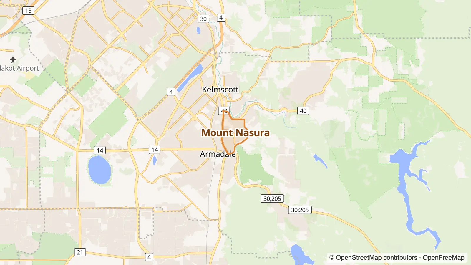

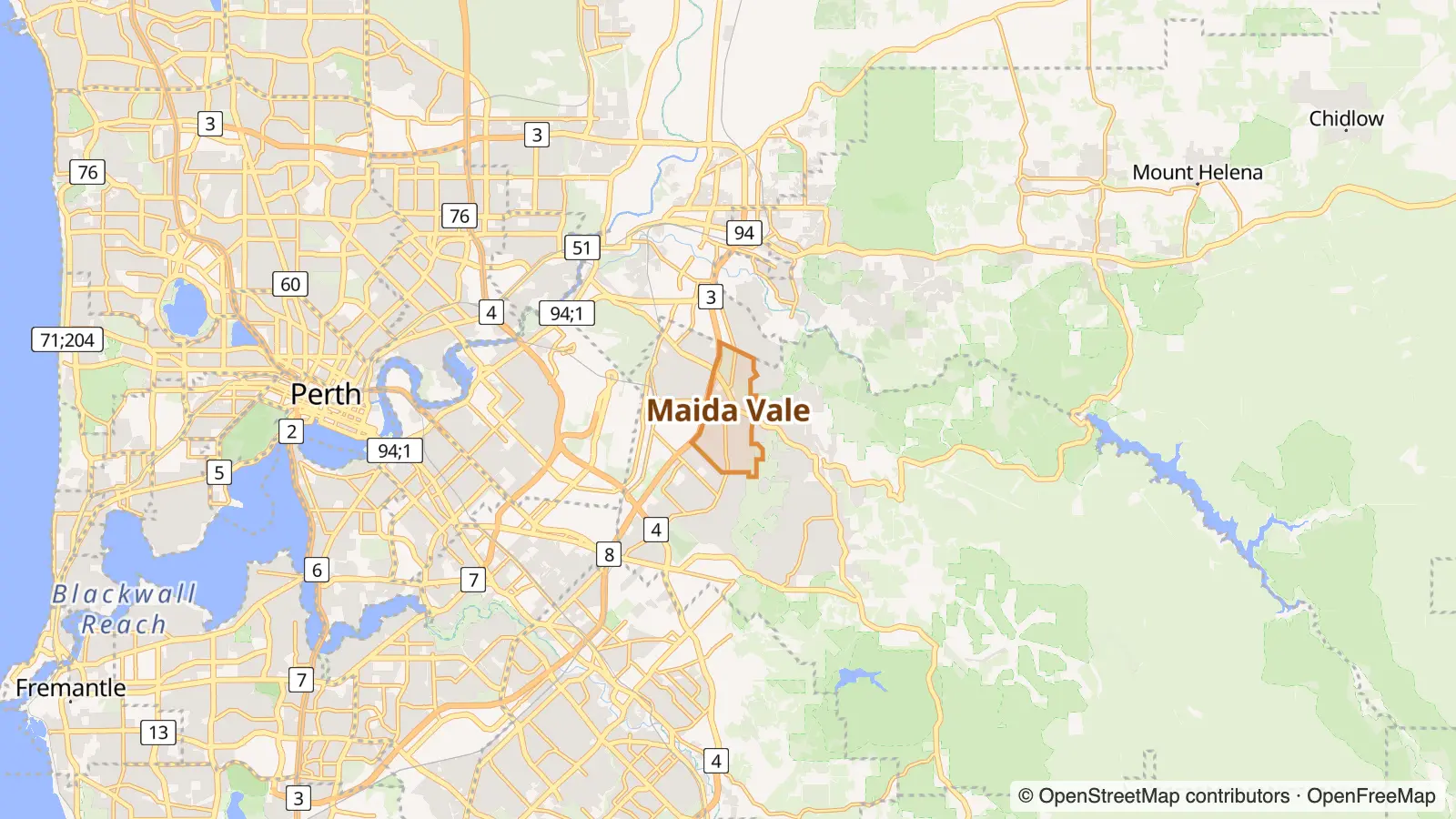


Going the other way: Brisbane suburbs like Forrestfield.
Burpengary East in other cities
- The Burpengary East of Sydney Glenning Valley
- The Burpengary East of Melbourne Somerville
- The Burpengary East of Adelaide Happy Valley
- The Burpengary East of Hobart Carlton
- The Burpengary East of Canberra Kambah
Photo and map credits
- Helena Valley, Perth: JarrahTree, CC BY 2.5 au, via Wikimedia Commons
- Boya, Perth: JarrahTree, CC BY 2.5 au, via Wikimedia Commons
- Walliston, Perth: Orderinchaos, CC BY-SA 4.0, via Wikimedia Commons
- Maps: © OpenStreetMap contributors, map style by OpenFreeMap


