Neighbourhoods like San Siro in Rome
Tuscolano is the Rome neighbourhood most like San Siro, Milan: a good match at 44/100. Next come Quarticciolo (40) and Quartiere Africano (37).

San Siro is a vast district ("quartiere") of Milan, Italy, part of the Zone 7 administrative division of the city. About 5 km north-west of the city centre, it borders the districts of Lampugnano, QT8, FieraMilano, and Trenno. Wikipedia

Tuscolano is the 8th quartiere of Rome (Italy), identified by the initials Q. VIII. The name derives from the ancient road Via Tuscolana. It belongs to the Municipio V and Municipio VII. Wikipedia
Why Tuscolano is like San Siro
44/100Each row shows where the area ranks in its own city: “top 5%” means among the 5% of areas that fit the label best. Matched on density, street life and geography, plus census data on age and birthplace.
| Trait | San Siro | Tuscolano |
|---|---|---|
| Dense | top 24% | top 10% |
| Close to the city | top 24% | top 17% |
| Near a train or metro | top 1% | top 18% |
| Takeaway | top 20% | top 14% |
| Visitor hub | top 3% | top 15% |
More Rome neighbourhoods like San Siro
- Dense top 24% · top 22%Restaurants top 21% · top 6%Sights & attractions top 18% · top 22%
- Dense top 24% · top 5%Close to the city top 24% · top 10%Near a train or metro top 1% · top 1%
- Dense top 24% · top 4%Close to the city top 24% · top 22%Near a train or metro top 1% · top 1%
- Dense top 24% · top 18%Multicultural top 13% · top 23%Vintage & books top 14% · top 22%
- Dense top 24% · top 12%Close to the city top 24% · top 21%Near a train or metro top 1% · top 10%
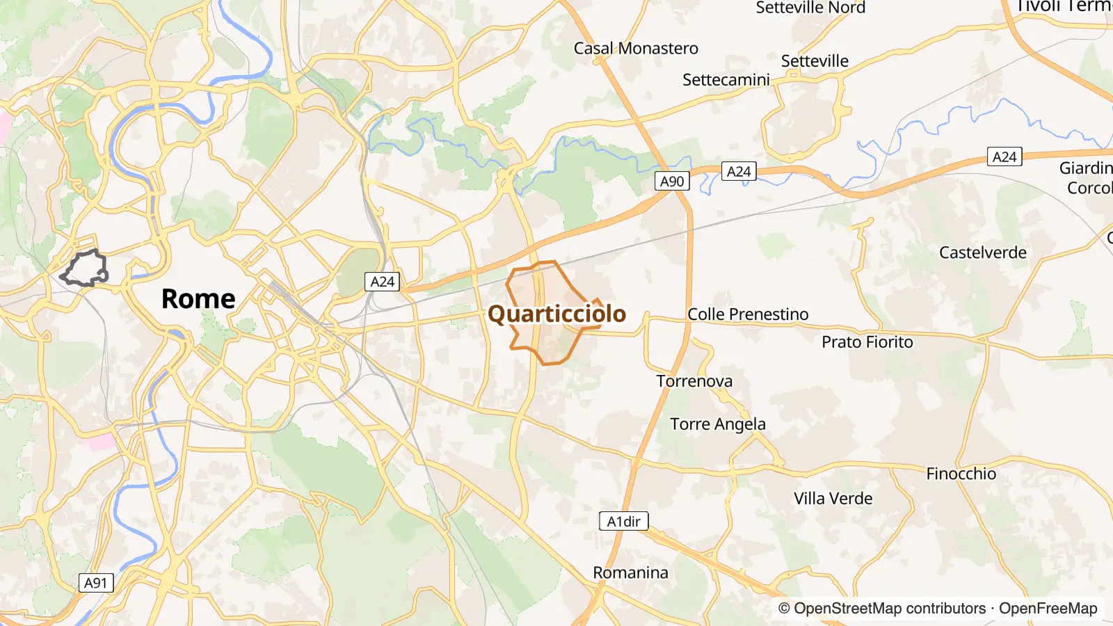
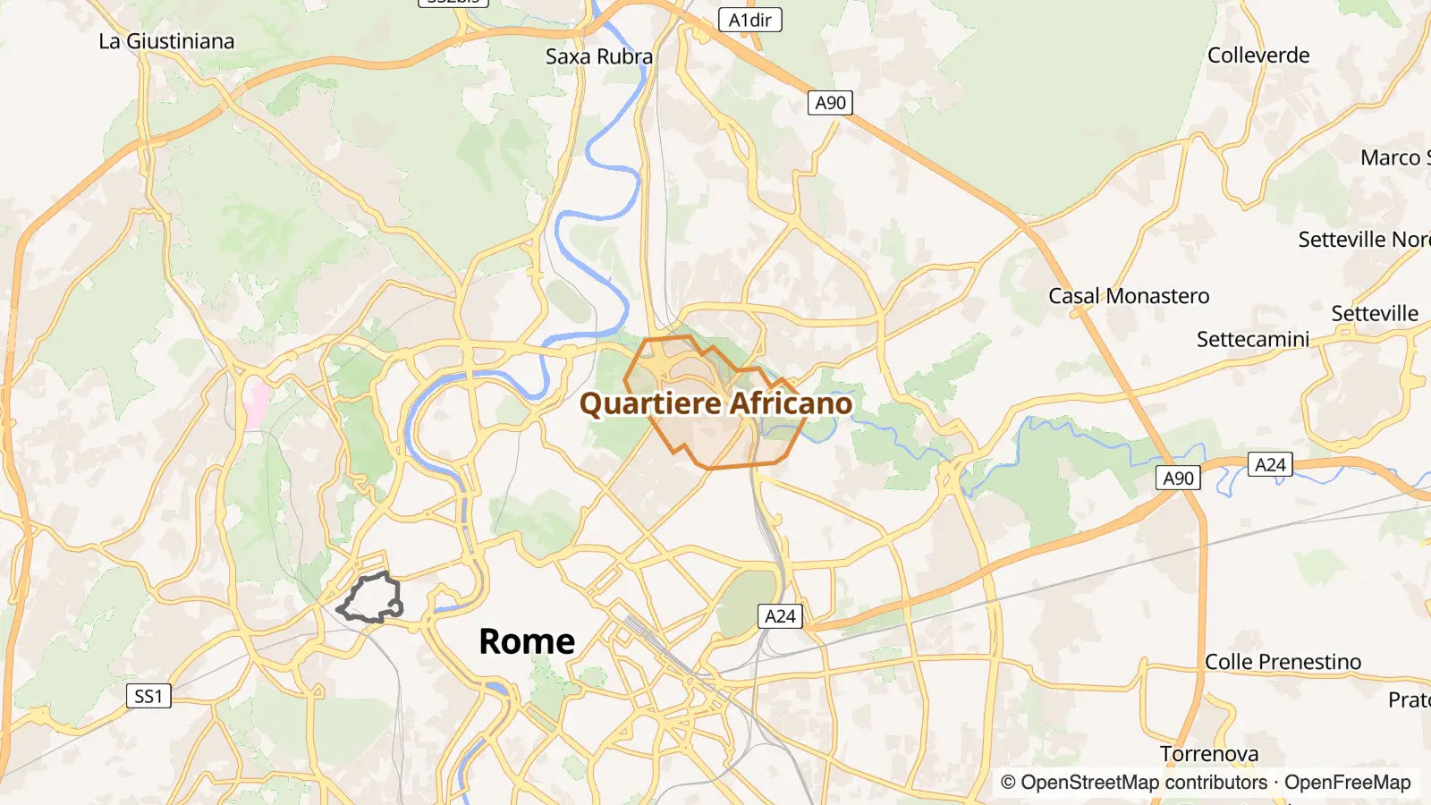
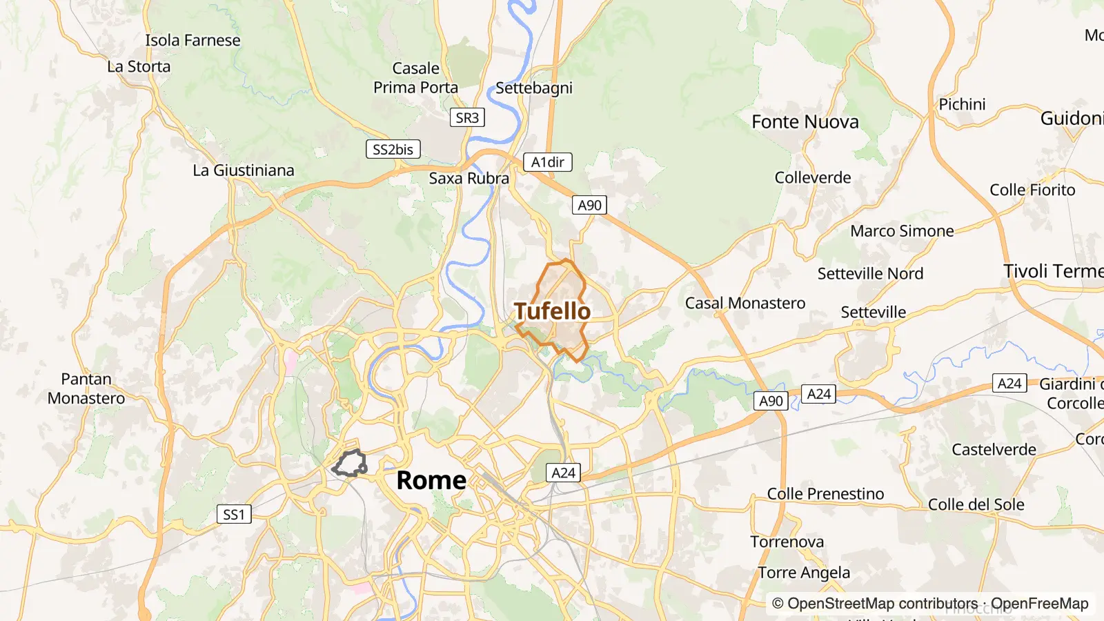


Going the other way: Milan neighbourhoods like Tuscolano.
San Siro in other cities
- The San Siro of Florence Monticelli
Photo and map credits
- San Siro, Milan: FlavMi, CC BY-SA 3.0, via Wikimedia Commons
- Tuscolano, Rome: Blackcat, CC BY-SA 4.0, via Wikimedia Commons
- Primavalle, Rome: Jaspar74, Public domain, via Wikimedia Commons
- Gianicolense, Rome: Lalupa, CC BY-SA 3.0, via Wikimedia Commons
- Maps: © OpenStreetMap contributors, map style by OpenFreeMap


