Sydney › Gymea Bay › in Adelaide
Suburbs like Gymea Bay in Adelaide
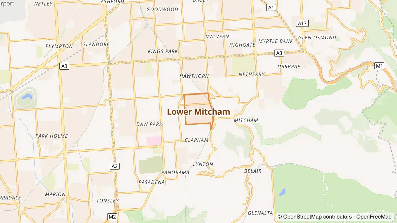
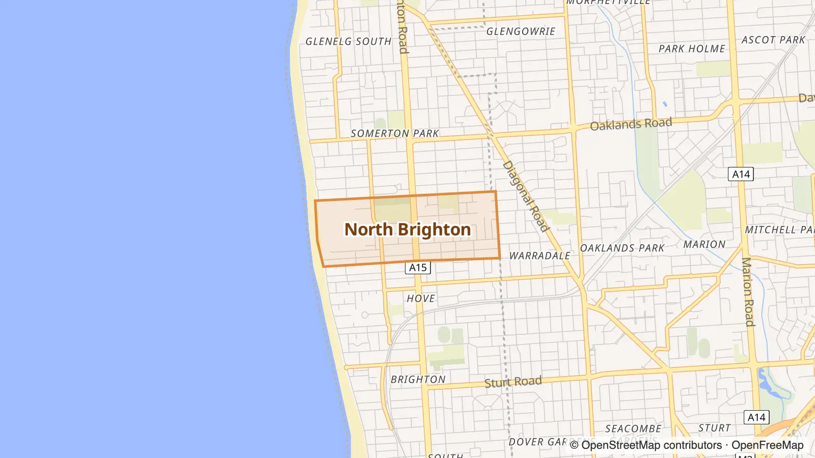
Colonel Light Gardens is the Adelaide suburb most like Gymea Bay, Sydney: the nearest match at 38/100. Next come Lower Mitcham (32) and North Brighton (31).

The locality and suburb of Gymea Bay are located in southern Sydney, in the state of New South Wales, Australia. Gymea Bay is 27 kilometres (17 mi) south of the Sydney central business district, in the local government area of the Sutherland Shire. Wikipedia

Colonel Light Gardens is a suburb located within the Australian City of Mitcham in the greater Adelaide region, approximately 7 km (4 mi) south of the Adelaide city centre. The area is 1.58 km2 (0.61 sq mi). Wikipedia
Why Colonel Light Gardens is like Gymea Bay
38/100Each row shows where the area ranks in its own city: “top 5%” means among the 5% of areas that fit the label best. Matched on density, street life and geography, plus census data on income, rents, age, housing type, renting vs owning, birthplace, languages, jobs, household size and cultural communities.
| Trait | Gymea Bay | Colonel Light Gardens |
|---|---|---|
| High incomes | top 13% | top 4% |
| Owner-occupiers | top 4% | top 9% |
| Pricey rents | top 11% | top 7% |
| Mostly Aussie-born | top 9% | top 1% |
| Vintage & books | top 4% | top 10% |
| Big households | top 21% | top 6% |
| Long-time owners | top 13% | top 18% |
More Adelaide suburbs like Gymea Bay
- High incomes top 13% · top 17%Owner-occupiers top 4% · top 16%Mostly Aussie-born top 9% · top 8%
- Pricey rents top 11% · top 9%Mostly Aussie-born top 9% · top 23%Vintage & books top 4% · top 1%
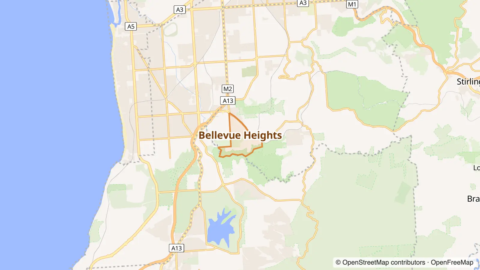
- Owner-occupiers top 4% · top 9%Pricey rents top 11% · top 21%Vintage & books top 4% · top 20%
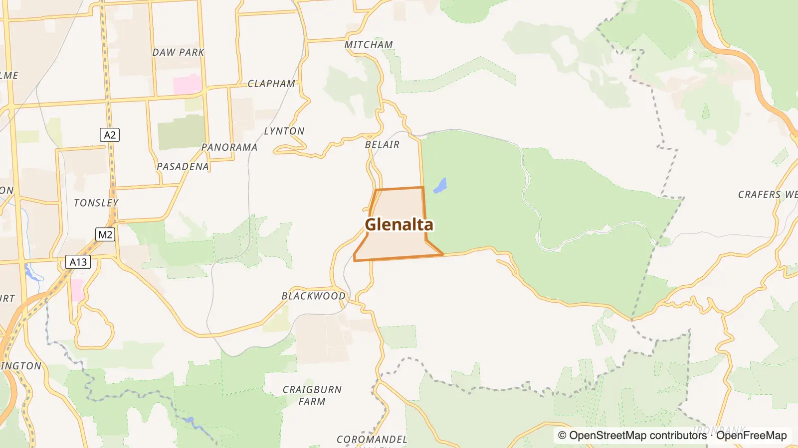
- Owner-occupiers top 4% · top 3%High incomes top 13% · top 22%Pricey rents top 11% · top 16%
- High incomes top 13% · top 24%Owner-occupiers top 4% · top 13%Pricey rents top 11% · top 16%
Going the other way: Sydney suburbs like Colonel Light Gardens.
Gymea Bay in other cities
- The Gymea Bay of Melbourne Croydon Hills
- The Gymea Bay of Brisbane Brighton
- The Gymea Bay of Perth Leeming
- The Gymea Bay of Hobart Rosny
- The Gymea Bay of Darwin Wulagi
- The Gymea Bay of Canberra Flynn
- The Gymea Bay of New York Glen Ridge
- The Gymea Bay of London Park Langley
Photo and map credits
- Gymea Bay, Sydney: J Bar, CC BY-SA 3.0, via Wikimedia Commons
- Colonel Light Gardens, Adelaide: User:Orderinchaos, CC BY-SA 3.0, via Wikimedia Commons
- Maps: © OpenStreetMap contributors, map style by OpenFreeMap

