Maple is a large neighbourhood in Vaughan, York Region, Ontario, Canada, north of Toronto. It was founded as a small village, located at the intersection of Major Mackenzie Drive and Keele Street. Wikipedia
Here's where to look in other cities. We compare where each neighbourhood sits within its own city: how dense, how central, how busy its streets are, the mix of cafés, bars and shops. That way a Hobart suburb can match a London one even though everything else differs.
29,823residents
4,235people / km²
44median age
top 16%for income in Toronto
top 6%for rents in Toronto
14%renting
25%flats & apartments
44%born abroad
24.3 kmto Toronto centre
0.9 kmto a train / metro
458shops, cafés & places
Reading the matches. Each trait shows where Maple ranks in Toronto, then where the match ranks in its own city: “top 5%” means among the 5% of areas that fit the label best. Hover a trait to see which is which.
Know these places? Use 👍 / 👎 to say whether a match feels right. Votes feed into the rankings.
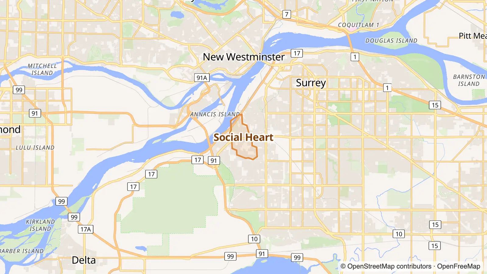
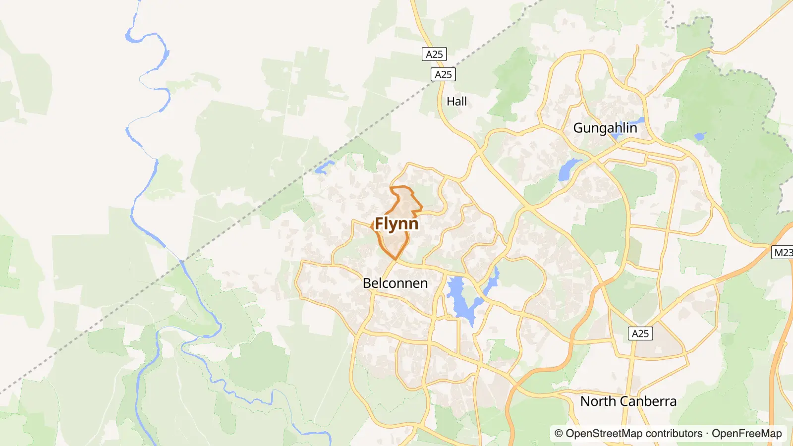
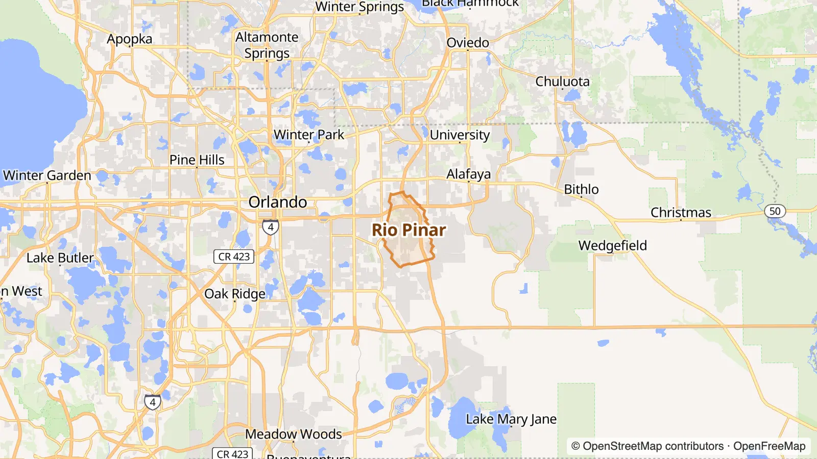
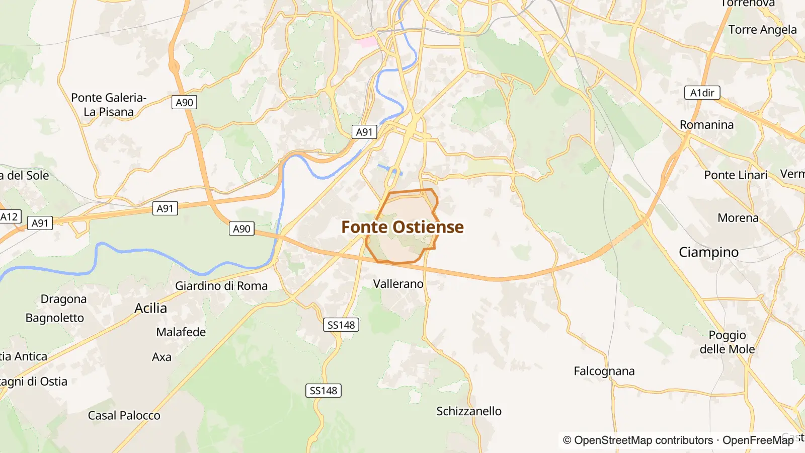
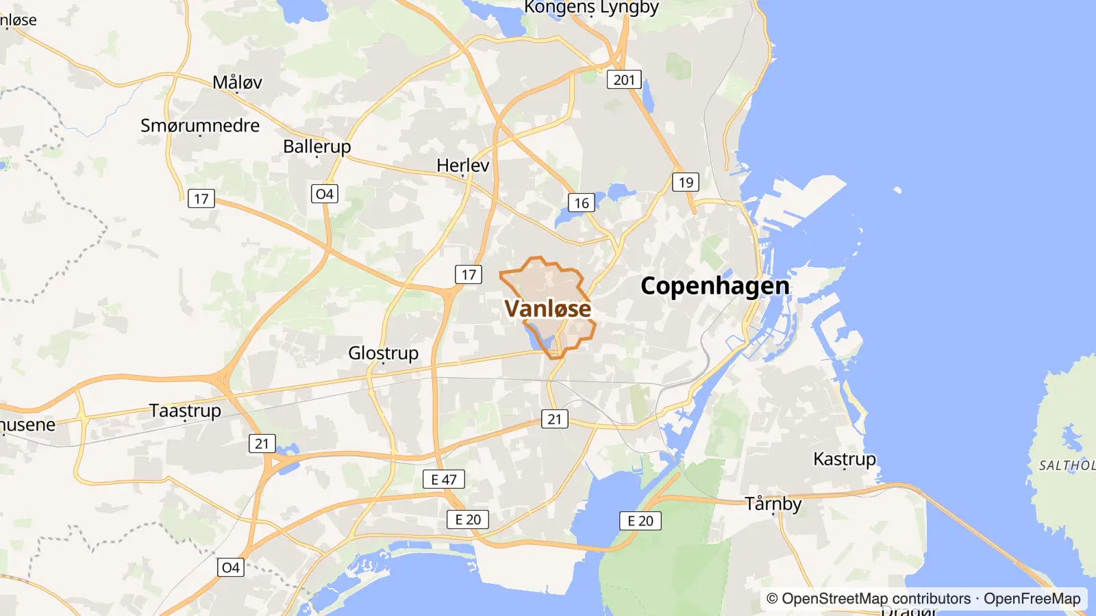
Outer top 4% · top 2%High incomes top 16% · top 14%Owner-occupiers top 9% · top 12%Mostly houses top 18% · top 4%Big households top 10% · top 5%Kid-friendly top 21% · top 15%
Matched on density, street life and geography, plus census data on income, rents, age, housing type, renting vs owning, birthplace, languages, jobs and household size.
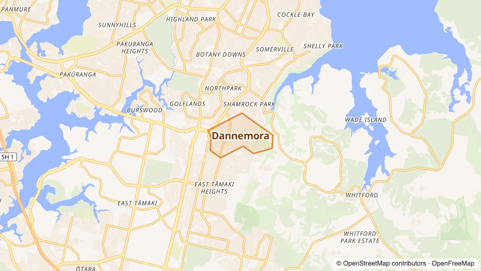
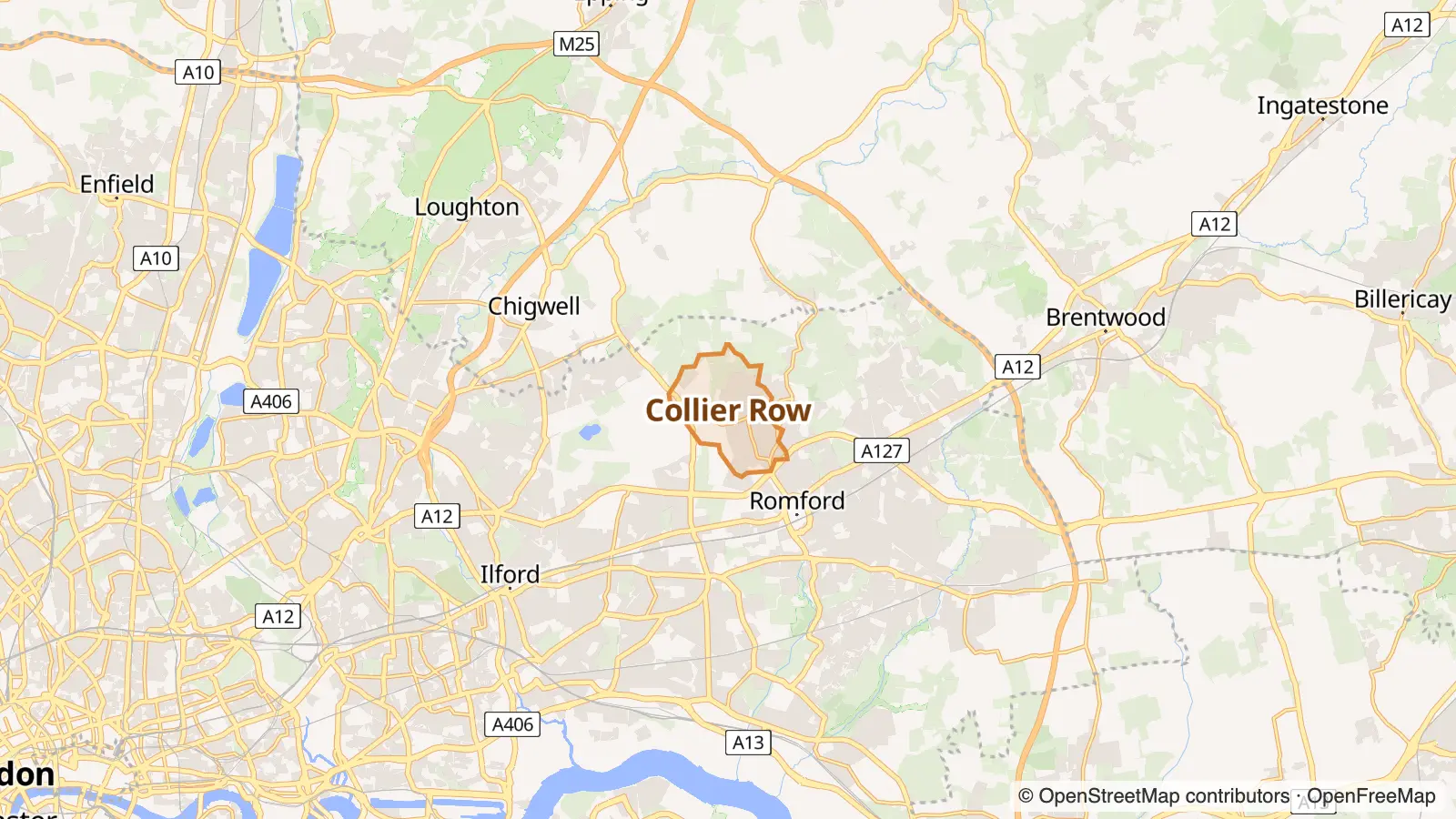
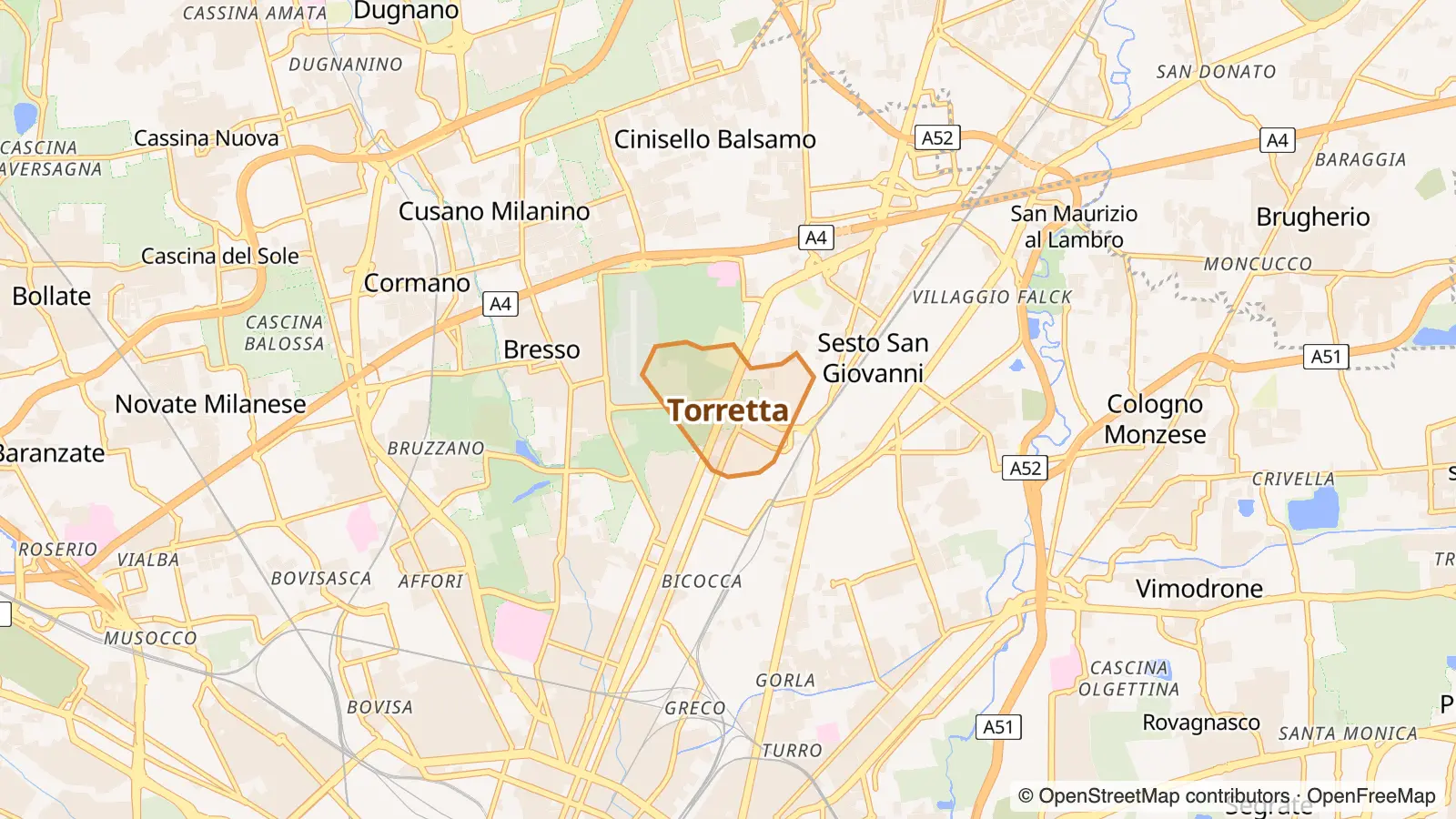
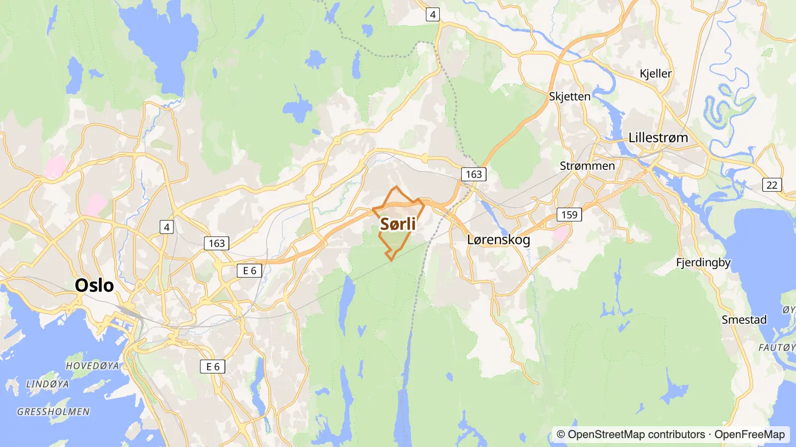
Owner-occupiers top 9% · top 19%Pricey rents top 6% · top 22%Mostly houses top 18% · top 24%Big households top 10% · top 20%Chain-store strip top 7% · top 20%
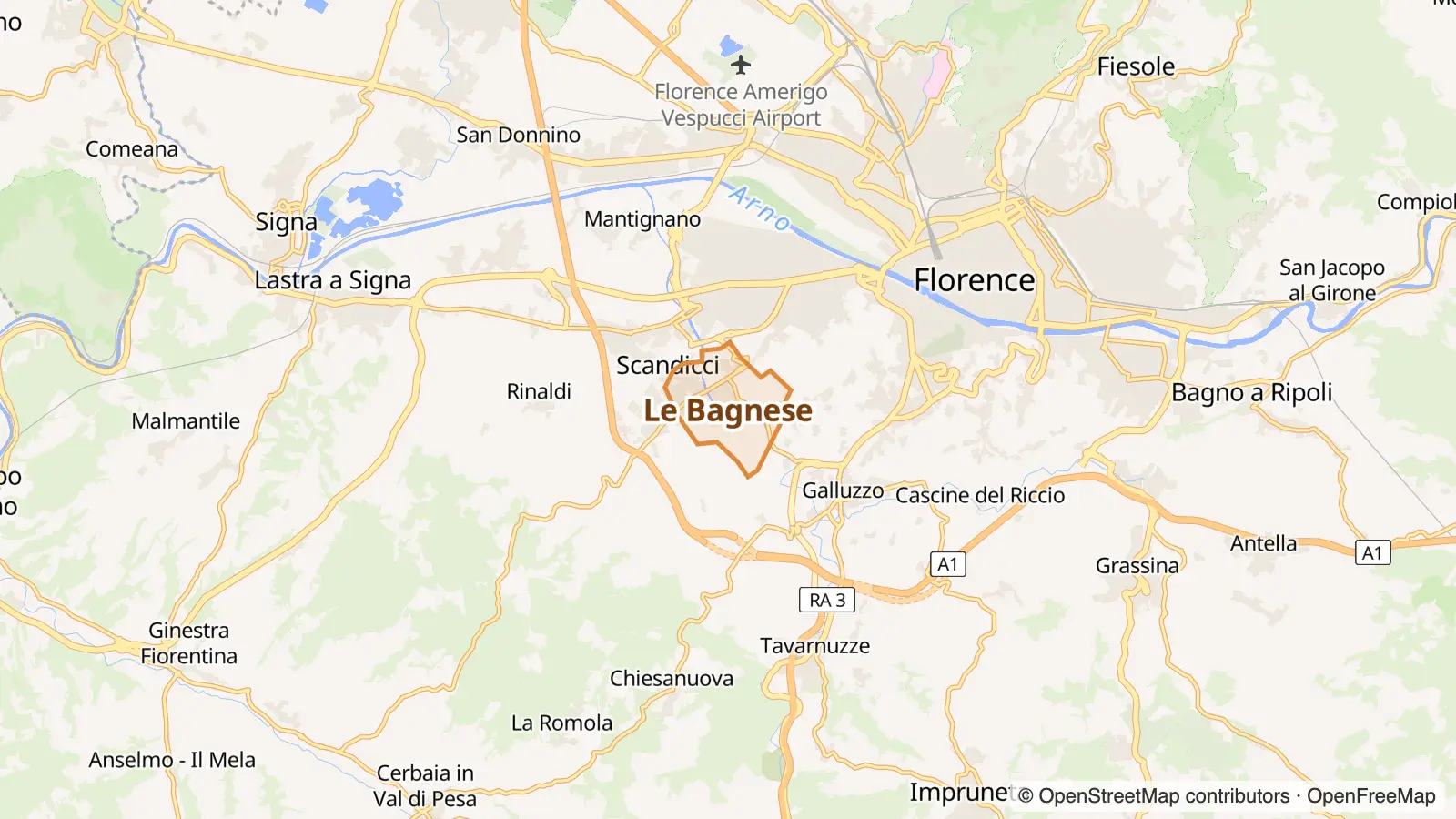
Owner-occupiers top 9% · top 15%Mostly houses top 18% · top 14%Chain-store strip top 7% · top 10%Takeaway top 9% · top 9%Big households top 10% · top 24%Kid-friendly top 21% · top 12%
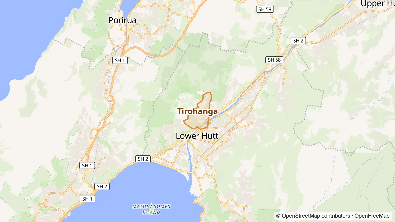
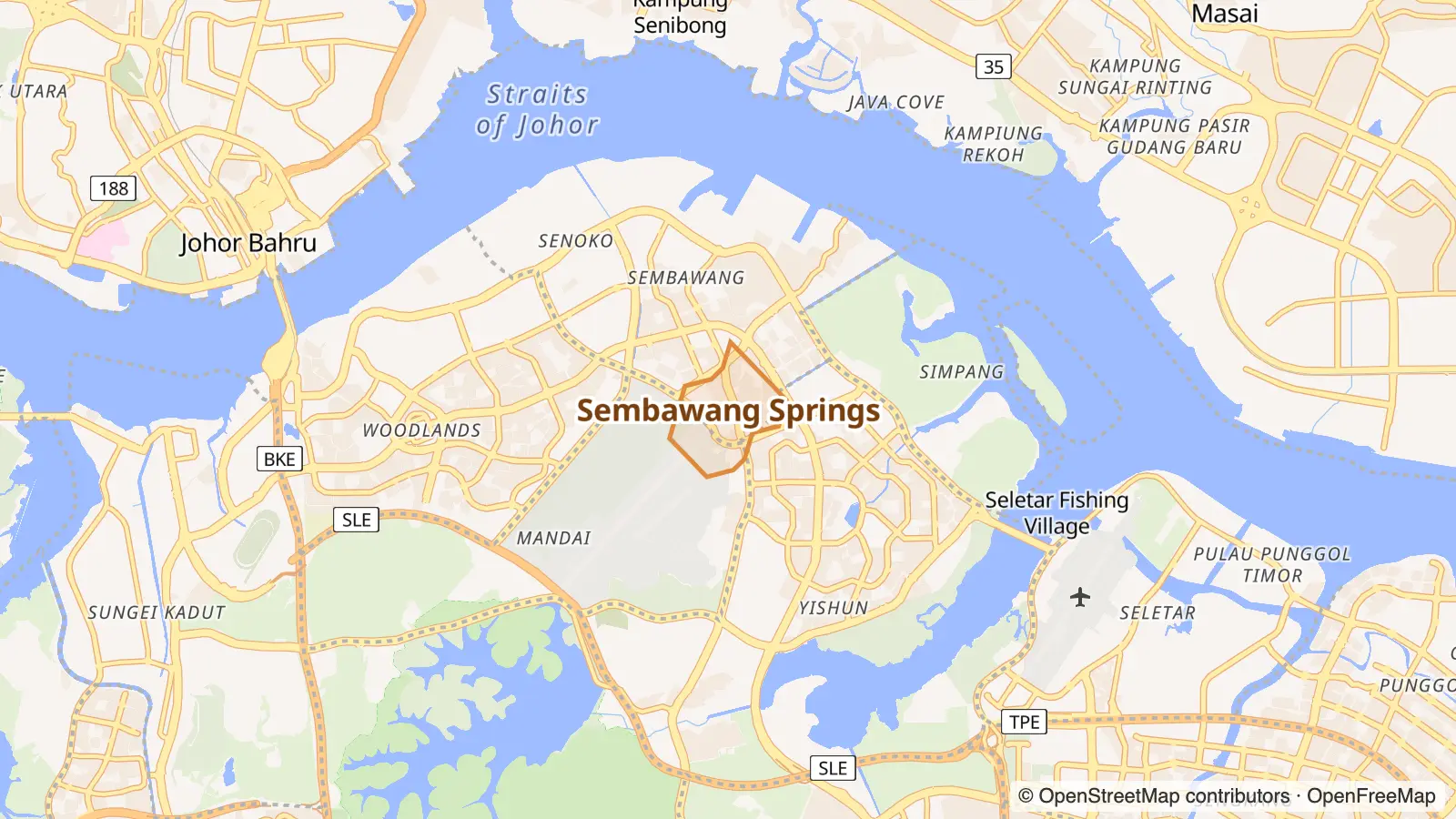
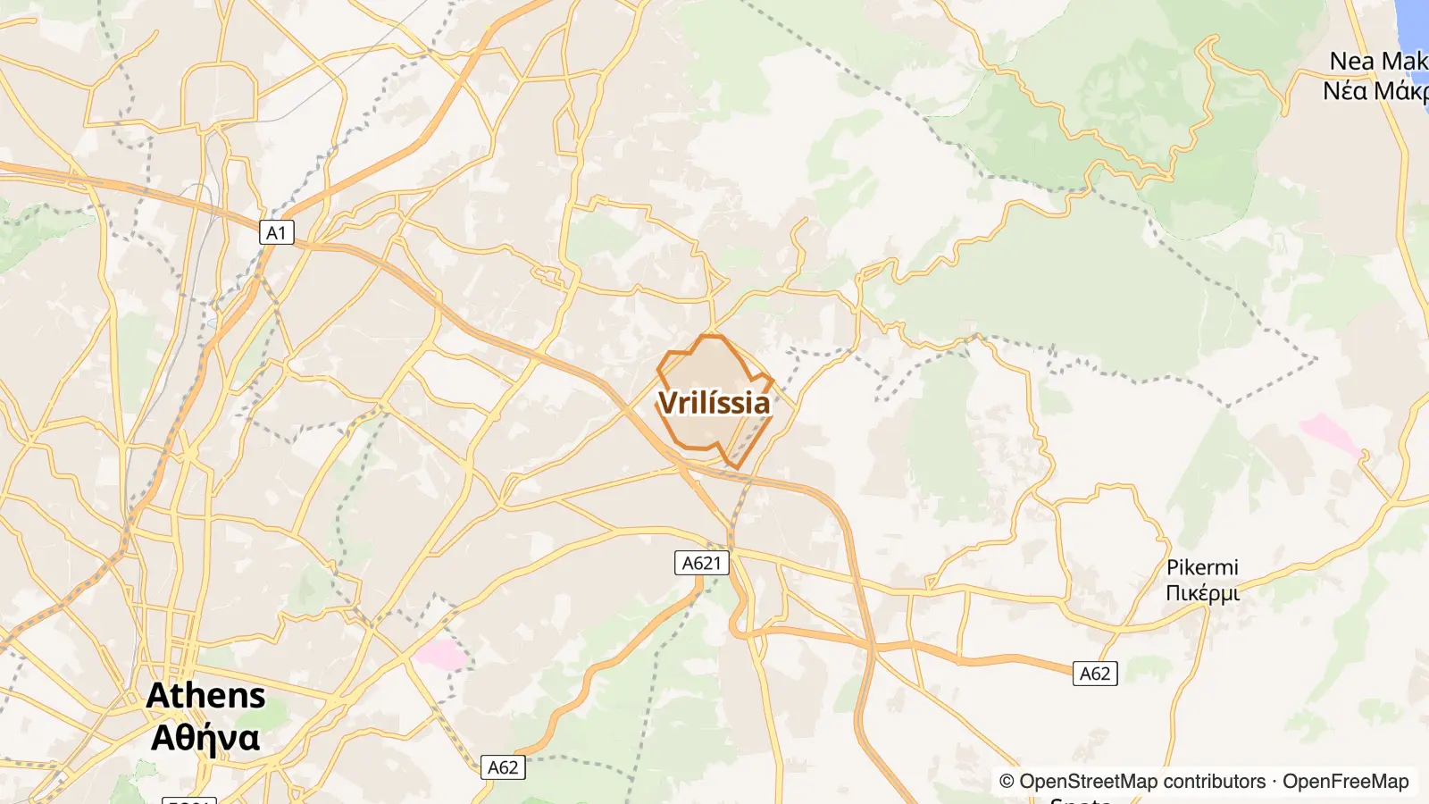
High incomes top 16% · top 19%Owner-occupiers top 9% · top 4%Pricey rents top 6% · top 5%Chain-store strip top 7% · top 23%Takeaway top 9% · top 18%Kid-friendly top 21% · top 11%
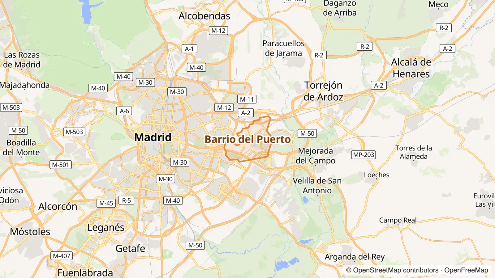
High incomes top 16% · top 20%Pricey rents top 6% · top 7%Mostly houses top 18% · top 14%Chain-store strip top 7% · top 25%Kid-friendly top 21% · top 25%
No close equivalent here. This is the nearest we found.
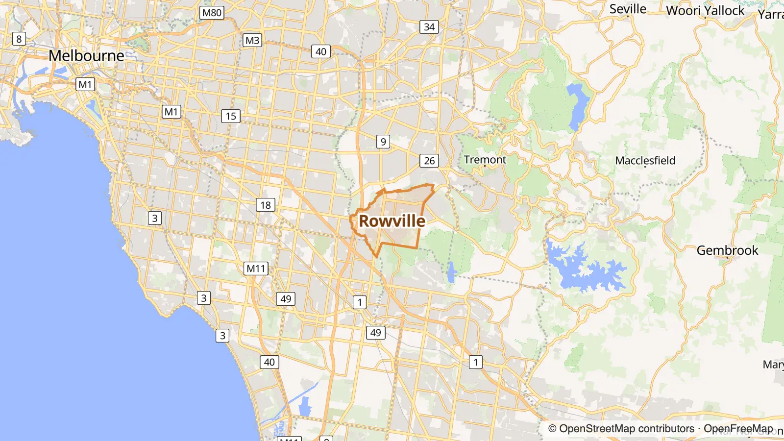
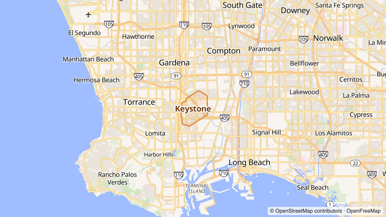
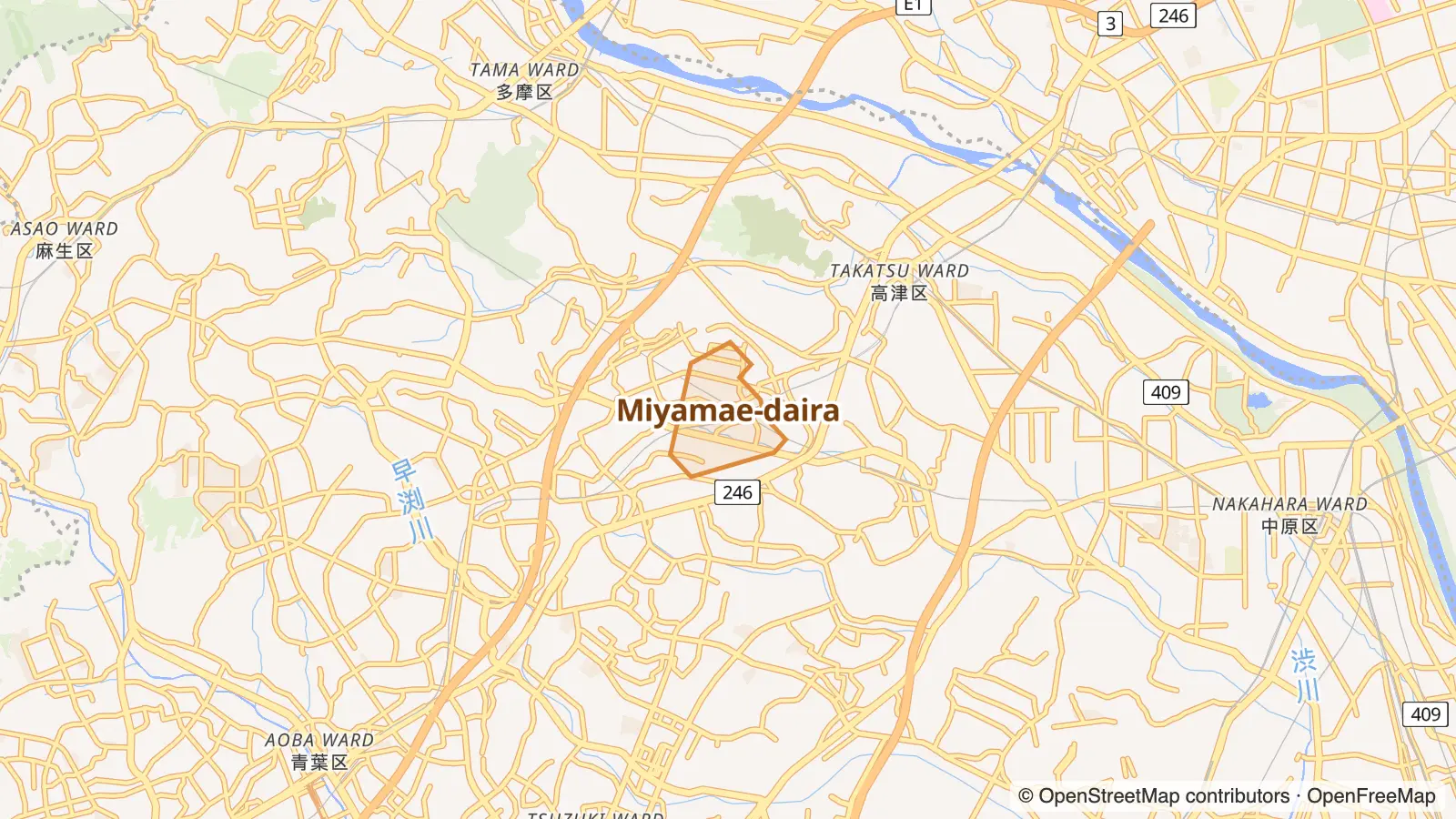
High incomes top 16% · top 21%Owner-occupiers top 9% · top 12%Mostly houses top 18% · top 3%Pricey rents top 6% · top 24%Big households top 10% · top 11%Gyms & studios top 15% · top 1%
Matched on density, street life and geography, plus census data on income, rents, age, housing type, renting vs owning, birthplace, languages and household size.
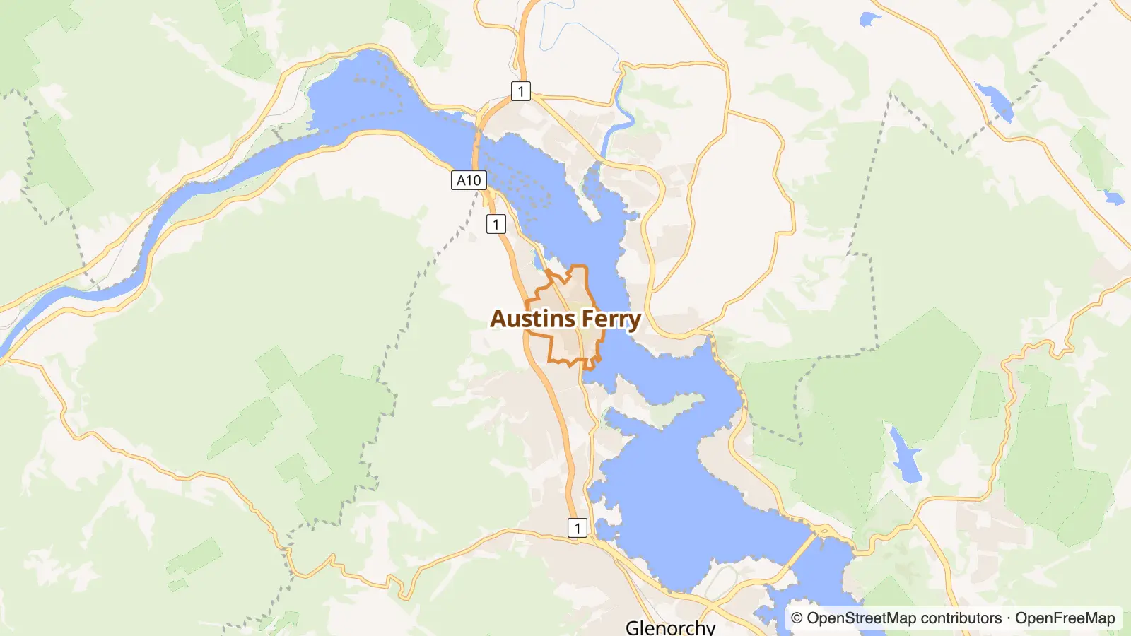
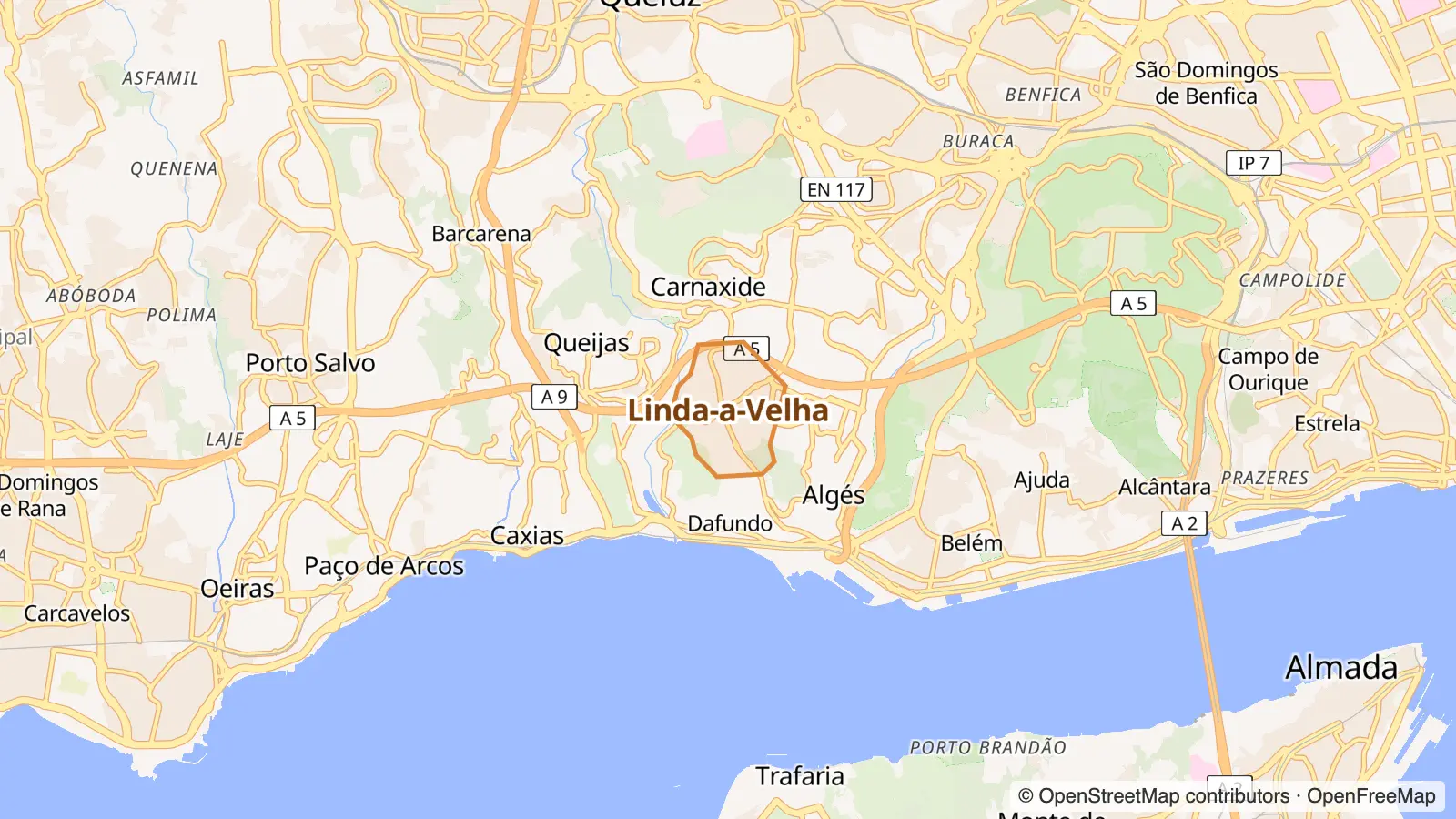
Outer top 4% · top 14%Pricey rents top 6% · top 5%Owner-occupiers top 9% · top 19%Mostly houses top 18% · top 1%Few kids top 22% · top 22%Chain-store strip top 7% · top 16%Takeaway top 9% · top 1%
High incomes top 16% · top 11%Owner-occupiers top 9% · top 4%Pricey rents top 6% · top 10%Mostly houses top 18% · top 1%Chain-store strip top 7% · top 8%Big households top 10% · top 6%
High incomes top 16% · top 15%Owner-occupiers top 9% · top 14%Pricey rents top 6% · top 3%Mostly houses top 18% · top 8%Big households top 10% · top 10%Chain-store strip top 7% · top 15%Gyms & studios top 15% · top 15%Kid-friendly top 21% · top 20%
Matched on density, street life and geography, plus census data on income, rents, age, housing type, renting vs owning, birthplace, languages, jobs and household size.
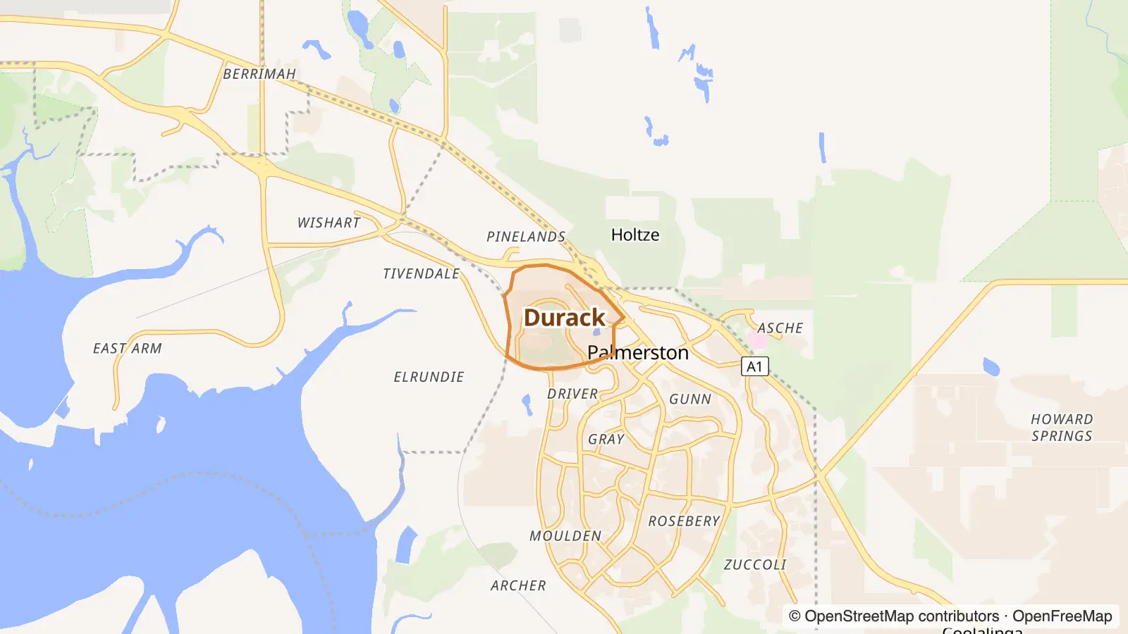
Owner-occupiers top 9% · top 10%Mostly houses top 18% · top 17%Pricey rents top 6% · top 19%Chain-store strip top 7% · top 1%Takeaway top 9% · top 1%Big households top 10% · top 25%
Owner-occupiers top 9% · top 17%Mostly houses top 18% · top 20%Chain-store strip top 7% · top 5%Big households top 10% · top 15%Takeaway top 9% · top 10%
Matched on density, street life and geography, plus census data on age, housing type, renting vs owning, birthplace, languages, jobs and household size.
Scores are 0–100. Every match uses Overture Maps places, population density and geography, plus whatever census data both countries publish (see each section). All are adjusted by visitor votes each time the data is refreshed.